China Launches Satellite Dedicated to Disaster Management
TEHRAN (Tasnim) – China launched a satellite early on Sunday morning dedicated to natural disaster prevention and mitigation, according to the China National Space Administration.
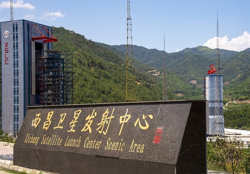
The remote sensing satellite, Land Surveyor 4A, was carried into orbit on a Long March 3B rocket that blasted off at 1:26 am from the Xichang Satellite Launch Center in Southwest China's Sichuan province, and soon entered its preset geosynchronous orbit, the administration said in a news release.
Remote sensing refers to the process of detecting and monitoring the physical characteristics of an area by measuring its reflected and emitted radiation at a distance, typically from aircraft or satellites.
Developed by the China Academy of Space Technology, the Land Surveyor 4A is the world's first synthetic aperture radar satellite in high-altitude orbit and will extensively improve China's space-based disaster monitoring system, it noted.
The spacecraft is tasked with making round-the-clock monitoring on Chinese territories and neighboring regions. In addition to disaster prevention and relief work, it will also be used in land and marine resources management, weather forecast, environmental protection, and agricultural and forestry industries, the administration said, the China Daily reported.
Its users include the Ministry of Emergency Management, Ministry of Natural Resources, China Meteorological Administration, as well as Ministry of Agriculture and Rural Affairs.
Compared with other synthetic aperture radar satellites in low orbits and optical satellites, the new type of satellite features better monitoring and imaging capabilities, according to it.
The space mission was China's 35th rocket launch this year and the 483rd flight of the Long March rocket family, the nation's dominant launch vehicle fleet.


